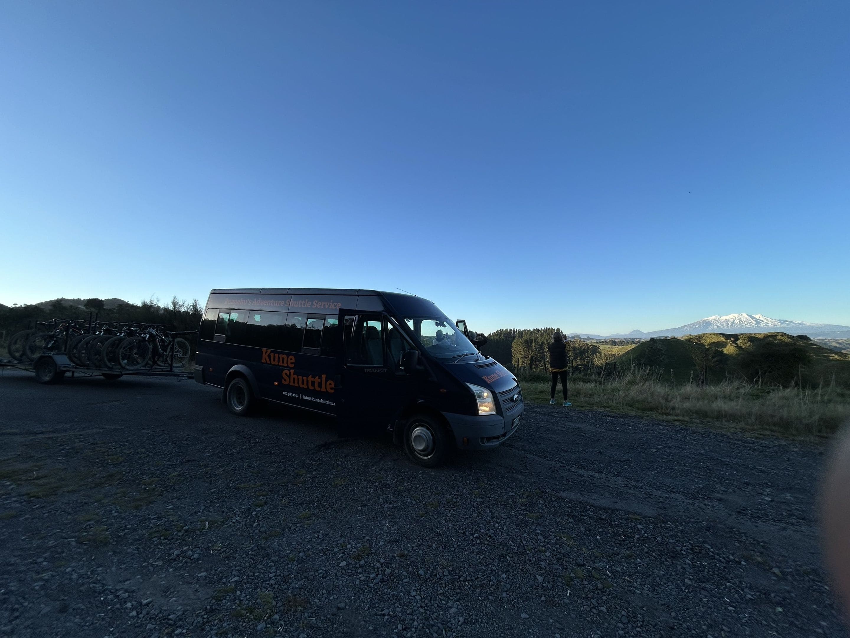
Mountain Road
You start above the treeline with Ruapehu's summit ridge at your back and the entire Whanganui basin spread out below. The next 17km are downhill.
The shuttle drops you at the Tūroa Ski Field carpark, 1,600 metres up the flank of an active volcano inside World Heritage listed Tongariro National Park. From there the landscape unwinds as you descend — alpine tussock, then subalpine scrub, then dense mountain beech, and finally the streets of Ohakune.
Half an hour if you send it. An hour or more if you stop for the views — and you should. The Waitonga Falls side-trip (39m, the highest waterfall in the park, 1.5hr return on foot) is worth bringing a bike lock for.
The same shuttle serves walkers on the Round the Mountain Track (Ohakune to Tūroa section) — same price, same drop.
Know before you go
Bikers and walkers only — no winter shuttles for snow users. The Mountain Road can carry ice and snow outside summer; we won't run the shuttle in conditions we consider unsafe.
The ride
- 1,000 vertical metres of descent
- World Heritage Tongariro National Park
- Waitonga Falls side-trip (bring a bike lock)
- Alpine tussock to town in one run
What Kune provides
- Shuttle Ohakune → Tūroa carpark
- Briefing + current road conditions
- Local knowledge — the road can hold ice and snow outside summer
What to bring
- A bike with good brakes — it's 17km of sealed descent
- Wind layer — it's alpine at the top, even in summer
- Bike lock if you're walking to Waitonga Falls
Interactive map & trail reports
Mountain Road on Trailforks
Live trail status, recent reports and the full interactive map.